Clear Line Prints · Shop on Zazzle · Shop on TeePublic · Pinterest
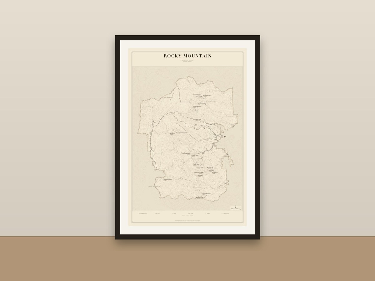
A minimalist ink-on-cream map of Rocky Mountain National Park in Colorado, showing the park boundary, roads, hiking trails, lakes and rivers, named summits and 200-foot contour lines. A quiet, detailed keepsake for hikers and anyone who has walked its trails. Drawn from OpenStreetMap data (ODbL).
Available as a poster, art print and more, printed and shipped by the marketplace.