Clear Line Prints · Shop on Zazzle · Shop on TeePublic · Pinterest
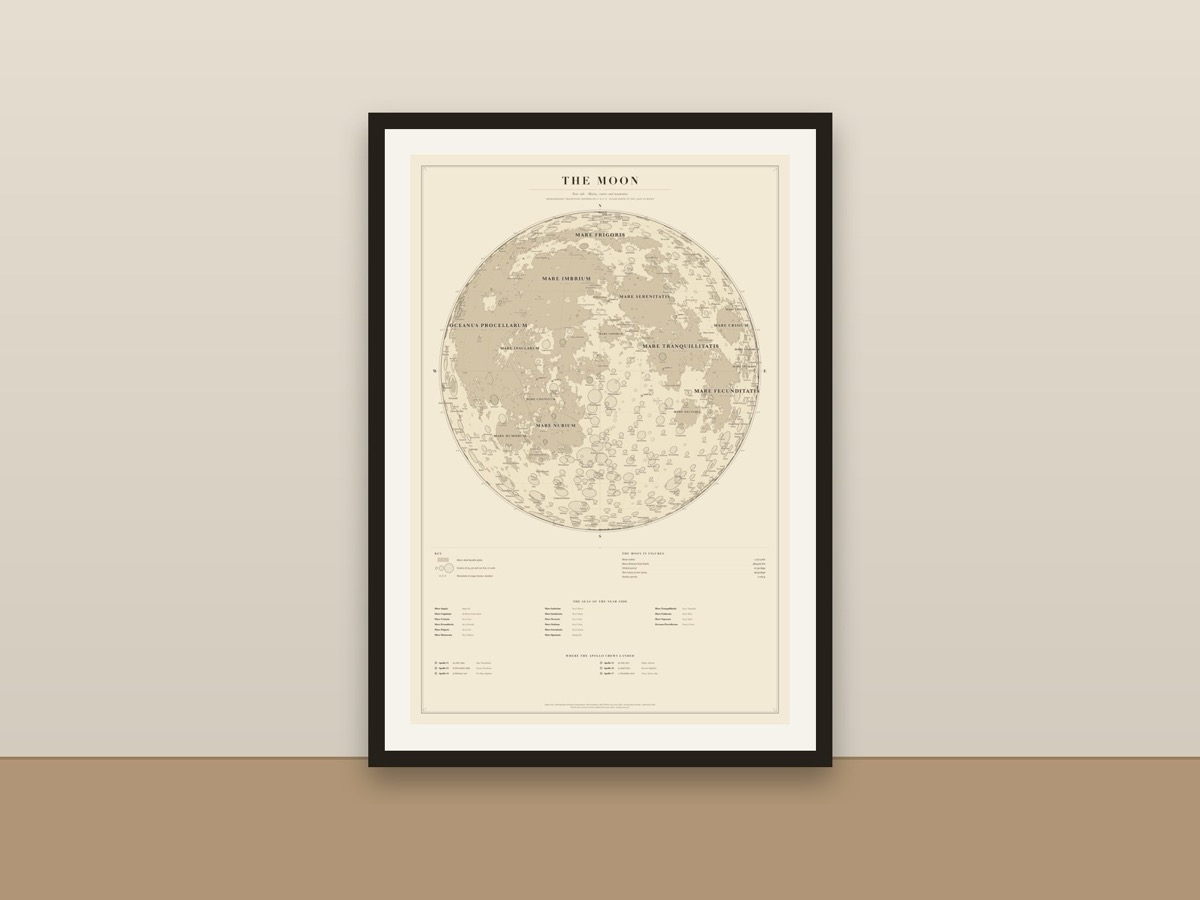
A detailed map of the Moon's near side in fine ink on warm cream: the dark seas (maria) drawn from NASA's LRO mapping, 680+ craters to scale with over 300 of them named, the lunar mountain ranges, a 15° graticule, the six Apollo landing sites, and an index of the seas with their English names. A vintage-style reference chart for a study, classroom or anyone who looks up at the Moon. Names from the IAU / USGS Gazetteer of Planetary Nomenclature.
Available as a poster, art print and more, printed and shipped by the marketplace.