Clear Line Prints · Shop on Zazzle · Shop on TeePublic · Shop on Threadless · Pinterest · YouTube
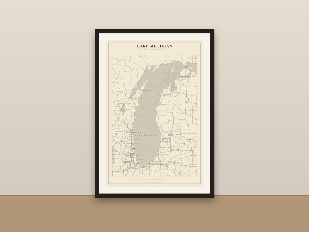
A minimalist map of the whole of Lake Michigan, from Chicago and Milwaukee to Green Bay, Traverse City and the Straits of Mackinac, drawn in fine ink lines on a warm cream background. The water is a soft flat tint and the lake is traced in ink, so the shape of Lake Michigan reads clearly from across a room. Coastline: Natural Earth; roads and places © OpenStreetMap contributors (ODbL). Depth contours: NOAA NCEI.
Available as a poster, art print and more, printed and shipped by the marketplace.